Rod Library Maps
Keywords
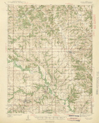
Mystic Region (Iowa)--Maps;
Continent
North America
Country
United States
State/Province
Iowa
County
Appanoose
Description
Topographical map of the area around Mystic, Iowa showcasing townships, cities, roads, railroads, elevations, rivers, and landmarks.
Publication Date
1942
Publisher
U.S. Geological Survey
City of Publication
Washington, D.C.
Object Description
1 JPEG file
Scale - Original
1:62,500
Rod Library Maps Subcollection
Iowa Maps
Physical Location
Special Collections & University Archives, Rod Library, University of Northern Iowa
Copyright
©1942 U.S. Geological Survey
Document Type
Map
Language
en
File Format
image/jpeg
Recommended Citation
Geological Survey (U.S.), "Mystic Quadrangle by USGS 1942" (1942). Rod Library Maps. 6.
https://scholarworks.uni.edu/rodmaps/6
Preview