Rod Library Maps
Continent
North America
Country
United States
State/Province
Iowa
Description
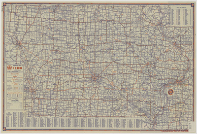
Map of the state of Iowa showcasing counties, cities, rivers, highways, and roads. Below the map is an index of cities and villages in Iowa. To the right of the map is an index of Iowa counties. Side one.
Publication Date
1947
Publisher
H.M. Gousha Company
City of Publication
Chicago, Ill.
Object Description
1 JPEG file
Scale - Original
1:887,040
Rod Library Maps Subcollection
Iowa Maps
Physical Location
Special Collections & University Archives, Rod Library, University of Northern Iowa
Copyright
©1947 H.M. Gousha Company
Document Type
Map
Language
en
File Format
image/jpeg
Recommended Citation
H.M. Gousha Company and Standard Oil Company, "Highway map of Iowa 1947 side 1" (1947). Rod Library Maps. 570.
https://scholarworks.uni.edu/rodmaps/570
Preview