Rod Library Maps
Description
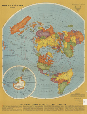
Map of the world, centered on the North Pole. Different countries are highlighted different colors. Below the map are paragraphs of information regarding air travel. Side one.
Publication Date
1943
Publisher
Rand McNally & Company
City of Publication
Chicago, Ill.
Object Description
1 JPEG file
Scale - Original
1:59,304,960
Rod Library Maps Subcollection
World Maps
Physical Location
Special Collections & University Archives, Rod Library, University of Northern Iowa
Copyright
©1946 Rand McNally & Company
Document Type
Map
Language
en
File Format
image/jpeg
Recommended Citation
Rand McNally & Company, "Rand McNally polar map of the world 1943 side 1" (1943). Rod Library Maps. 428.
https://scholarworks.uni.edu/rodmaps/428
Preview