Rod Library Maps
Description
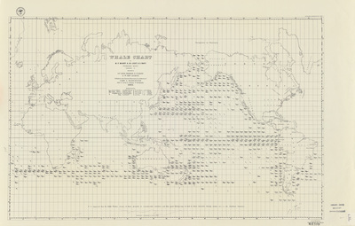
Map of the Oceans with illustrations marking where specific whale breeds are frequently seen, and in what season they're seen there. Continents and some countries labeled on the map.
Publication Date
1851
Object Description
1 JPEG file
Rod Library Maps Subcollection
World Maps
Physical Location
Special Collections & University Archives, Rod Library, University of Northern Iowa
Copyright
©1851
Document Type
Map
Language
en
File Format
image/jpeg
Recommended Citation
"Whale chart 1851" (1851). Rod Library Maps. 409.
https://scholarworks.uni.edu/rodmaps/409
Preview