Rod Library Maps
Continent
North America
Country
United States
State/Province
Iowa
County
Linn
City
Cedar Rapids
Description
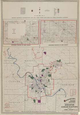
Map of Cedar Rapids and surrounding area showcasing streets, railroads, rivers, and landmarks. Different towns are outlined in red. Above the map are smaller expanded county maps. Side one.
Publication Date
1947
Publisher
Hearne Brothers
Object Description
1 JPEG file
Rod Library Maps Subcollection
Iowa Maps
Physical Location
Special Collections & University Archives, Rod Library, University of Northern Iowa
Copyright
©1947 Hearne Brothers
Document Type
Map
Language
en
File Format
image/jpeg
Recommended Citation
Hearne Brothers, "Official Hearne Bros. polyconic projection map of greater Cedar Rapids 1947 side 1" (1947). Rod Library Maps. 654.
https://scholarworks.uni.edu/rodmaps/654
Preview