


Rod Library Maps
Continent
North America
Country
United States
Description
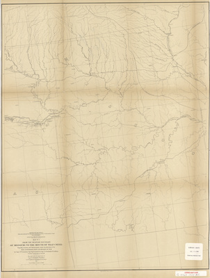
Map of the path from Missouri to Trap Creek, showcasing rivers, lakes, towns, railroads, and landmarks. The double black lines mark potential railroad routes. Map one.
Publication Date
1855
Object Description
1 JPEG file
Scale - Original
1:760,320
Rod Library Maps Subcollection
United States Maps
Physical Location
Special Collections & University Archives, Rod Library, University of Northern Iowa
Copyright
©1855
Document Type
Map
Language
en
File Format
image/jpeg
Recommended Citation
"Explorations and surveys for a rail road route from the Mississippi River to the Pacific Ocean 1855 map 1" (1855). Rod Library Maps. 622.
https://scholarworks.uni.edu/rodmaps/622
Preview

Comments
This is a part of a multi-image map. Click the links below to view the other parts:
Explorations and surveys for a rail road route 1855 map 2
Explorations and surveys for a rail road route 1855 map 3
Explorations and surveys for a rail road route 1855 map 4