Rod Library Maps
Description
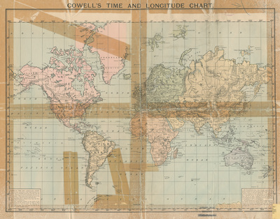
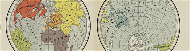
Map of the world featuring longitudes, information about the meridian line, and the international date line. Each continent is highlighted a different color.
Publication Date
1893
Object Description
1 JPEG file
Rod Library Maps Subcollection
World Maps
Physical Location
Special Collections & University Archives, Rod Library, University of Northern Iowa
Copyright
©1893
Document Type
Map
Language
en
File Format
image/jpeg
Recommended Citation
"Cowell's time and longitude chart" (1893). Rod Library Maps. 425.
https://scholarworks.uni.edu/rodmaps/425
Preview