Rod Library Maps
Continent
North America
Country
United States
State/Province
Iowa
County
Mills
Description
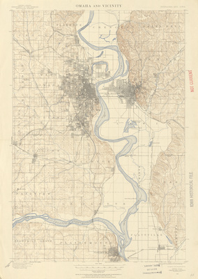
Topographical map of Omaha, Nebraska and Council Bluffs, Iowa. Contour intervals are marked in red, roads are marked in grey, and water features are marked in blue.
Publication Date
1898
Publisher
United States Geological Survey
City of Publication
Denver, Colorado
Object Description
1 JPEG file
Scale - Original
1:62,500
Rod Library Maps Subcollection
Iowa Maps
Physical Location
Special Collections & University Archives, Rod Library, University of Northern Iowa
Copyright
©1898 U.S. Geological Survey
Document Type
Map
Language
en
File Format
image/jpeg
Recommended Citation
Geological Survey (U.S.), "Omaha & Vicinity Quadrangle by USGS 1898" (1898). Rod Library Maps. 339.
https://scholarworks.uni.edu/rodmaps/339
Preview