Rod Library Maps
Keywords
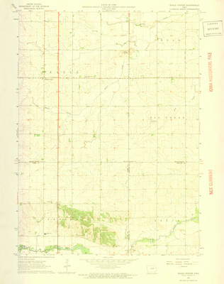
Eagle Center Region (Iowa)--Maps;
Continent
North America
Country
United States
State/Province
Iowa
County
Black Hawk
Description
Shows the topography of the area around Eagle Center, Iowa
Publication Date
1963
Publisher
U.S. Geological Survey
City of Publication
Denver, Colorado
Object Description
1 JPEG file
Scale - Original
1:24,000
Rod Library Maps Subcollection
Iowa Maps
Physical Location
Special Collections & University Archives, Rod Library, University of Northern Iowa
Copyright
©1963 U.S. Geological Survey
Document Type
Map
Language
en
File Format
image/jpeg
Recommended Citation
Geological Survey (U.S.), "Eagle Center Quadrangle by USGS 1963" (1963). Rod Library Maps. 18.
https://scholarworks.uni.edu/rodmaps/18
Preview